
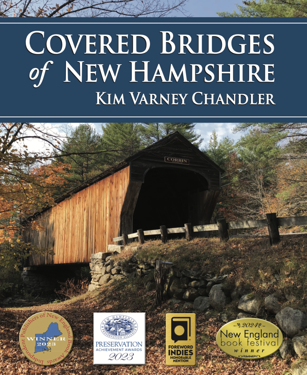
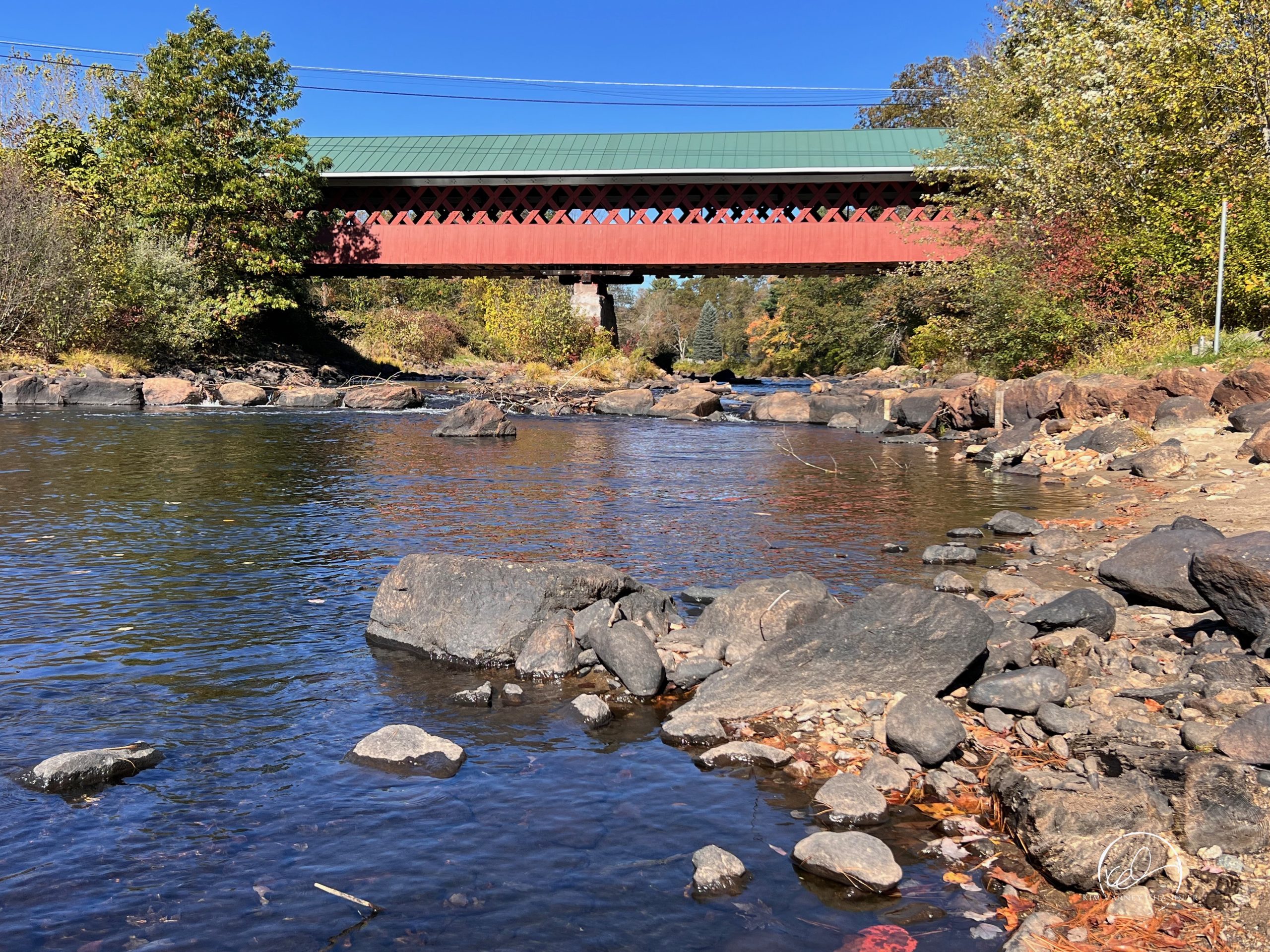
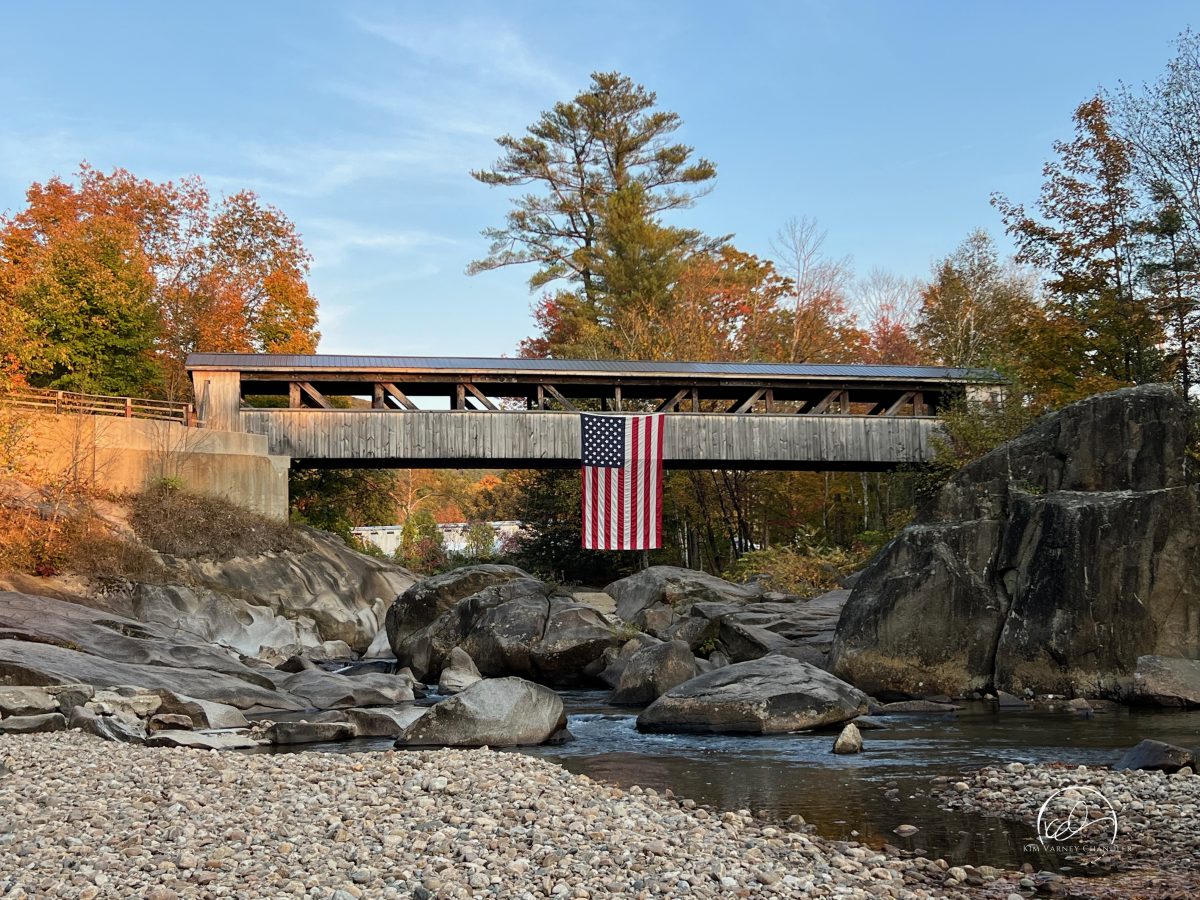
Covered Bridges of New Hampshire
Covered Bridges of New Hampshire is a must have book for covered bridge enthusiasts and historians. The book is an engaging and well-illustrated history of the remaining covered bridges in the Granite State. It is the most comprehensive history of New Hampshire’s covered bridges in print.
READ THE BOOK
Covered Bridges of New Hampshire
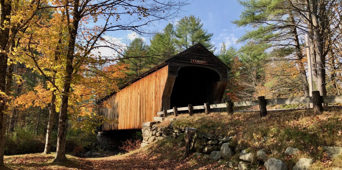
Covered Bridges of New Hampshire is a captivating and richly illustrated tribute to the remaining covered bridges in the Granite State. This 288-page, full-color softcover volume features author Kim Varney Chandler’s contemporary photography of all sixty-one surviving bridges, thoughtfully paired with historical images in a compelling then-and-now format.
HOST A PROGRAM
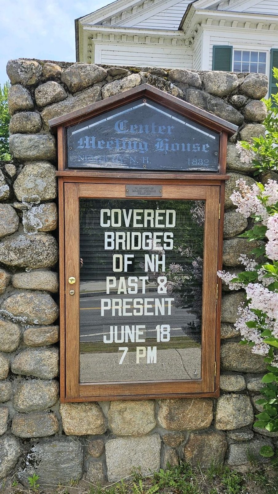
Covered Bridges of New Hampshire in your Community
Kim is available for speaking engagements and presentations on Covered Bridges of New Hampshire, past and present.
Programs are tailored for a specific bridge (or bridges), town, or region as requested. She can create a program for your community; no two programs are alike.
Kim is a part of the New Hampshire Humanities speakers bureau. Through Humanities to Go, the statewide speakers bureau, nonprofit organizations and community groups can offer high quality cultural programming to the public at minimal cost to the host.
HIT THE ROAD
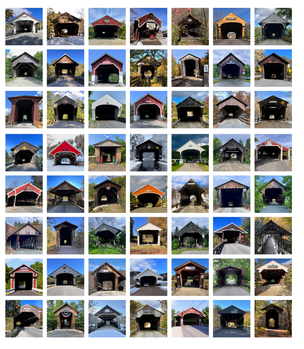
See New Hampshire’s Covered Bridges
Use these handy resources to begin your journey of visiting all of New Hampshire’s covered bridges.
This page features a complete list of all the covered bridges, with photographs and statistical information, as well as a downloadable checklist to keep in your car. Use the suggested Day Trip itineraries and an interactive Google Map to make planning easier!
LEARN MORE
Covered Bridge Resources
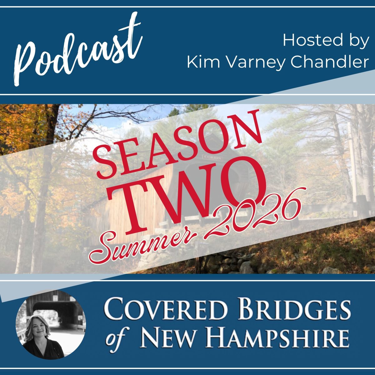
Podcast
Learn more about New Hampshire’s Covered Bridges by listening to the Covered Bridges of New Hampshire podcast.
Hosted by the author, this award-winning podcast features interviews with people in the covered bridge community.
Learn about covered bridge design, rehabilitations, namesakes, and their significance in our communities.

Maps
Use these handy resources to begin your journey of visiting all of New Hampshire’s covered bridges.
Are you ready to hit the road? The interactive Google Map provides easy to use coordinates and directions using a smart phone. Just one click will take you to the covered bridges.
Want to see where covered bridges used to be? Use the Google Map to visit the sites of our lost covered bridges.
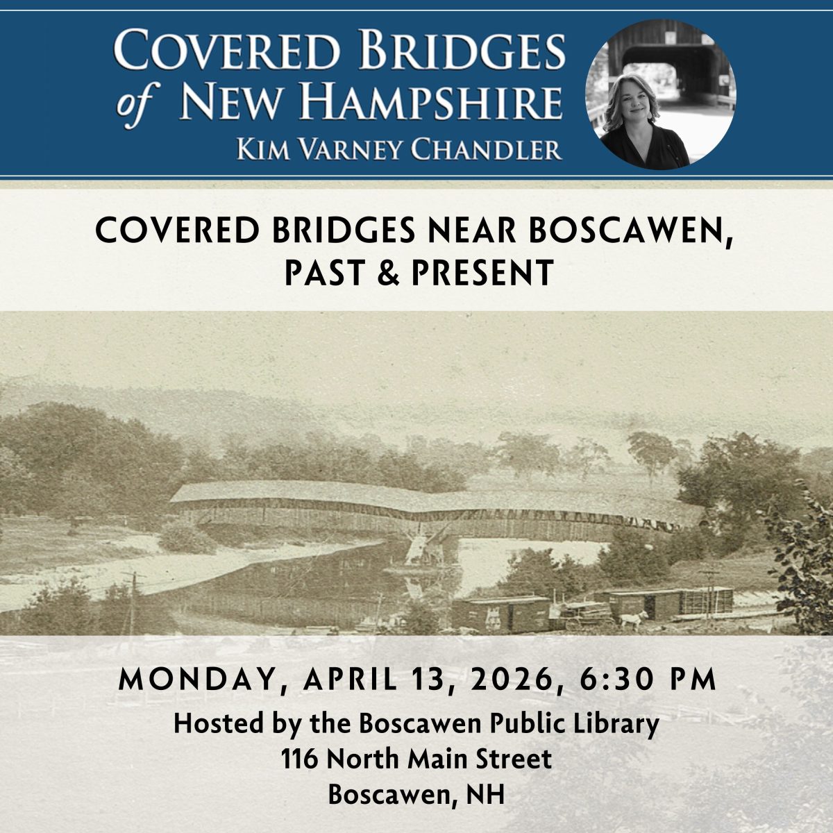
Event Calendar
Kim is traveling all over New Hampshire speaking about covered bridges, past and present. Be sure to check out the event calendar to see when she will be presenting near you.
Programs are tailored for specific communities, no two programs are alike!
Kim is a part of the New Hampshire Humanities speakers bureau.
COVERAGE
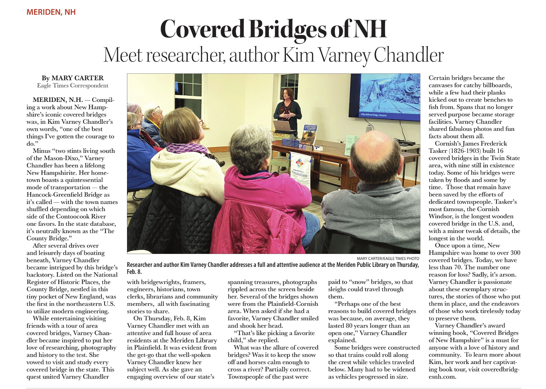
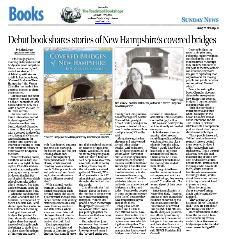
Covered Bridges of New Hampshire in the Media


Covered Bridge Research
-
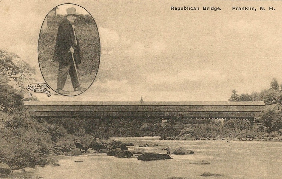
The Legend of “Boston” John Clark
“Boston” John Clark was a nineteenth-century New Hampshire builder whose work ranged from house framing and bridge construction to dam building and large-scale hydraulic engineering. Renowned for his physical strength, […]
-
The Bridge Builder Zadoc Lovell Taft
Zadoc Lovell Taft was a Swanzey carpenter, millwright, mechanic, farmer, and bridge builder, and part of a family with deep colonial roots. The Taft family arrived in the New World […]
-
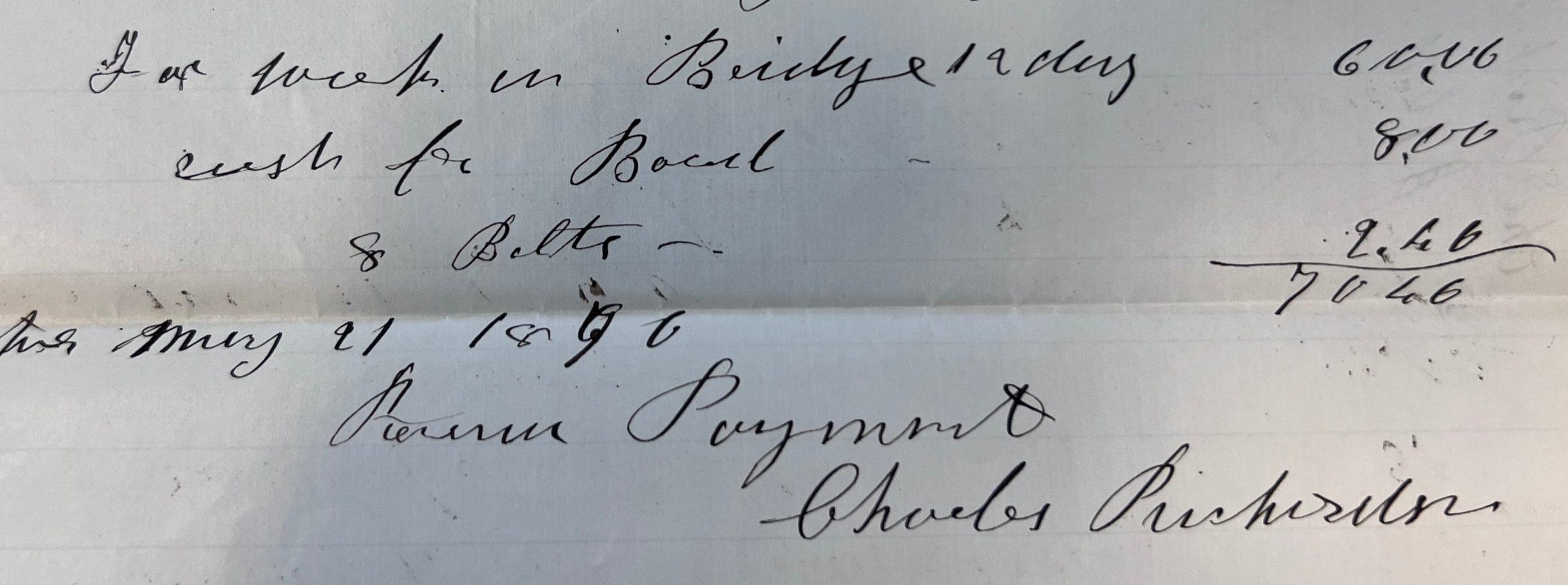
The Bridgewright Captain Charles Richardson
Captain Charles Richardson’s story in America begins with the arrival of Thomas Richardson (1608-1651) in the Massachusetts Bay Colony. Along with his two brothers, Ezekiel (1602-1647) and Samuel (1604-1657), and […]
REVIEWS
“A must book for covered bridge enthusiasts and historians. No other book on covered bridges goes into such historical detail.”
– Robert H. Durfee, P.E., Bridge Engineer/Covered Bridges